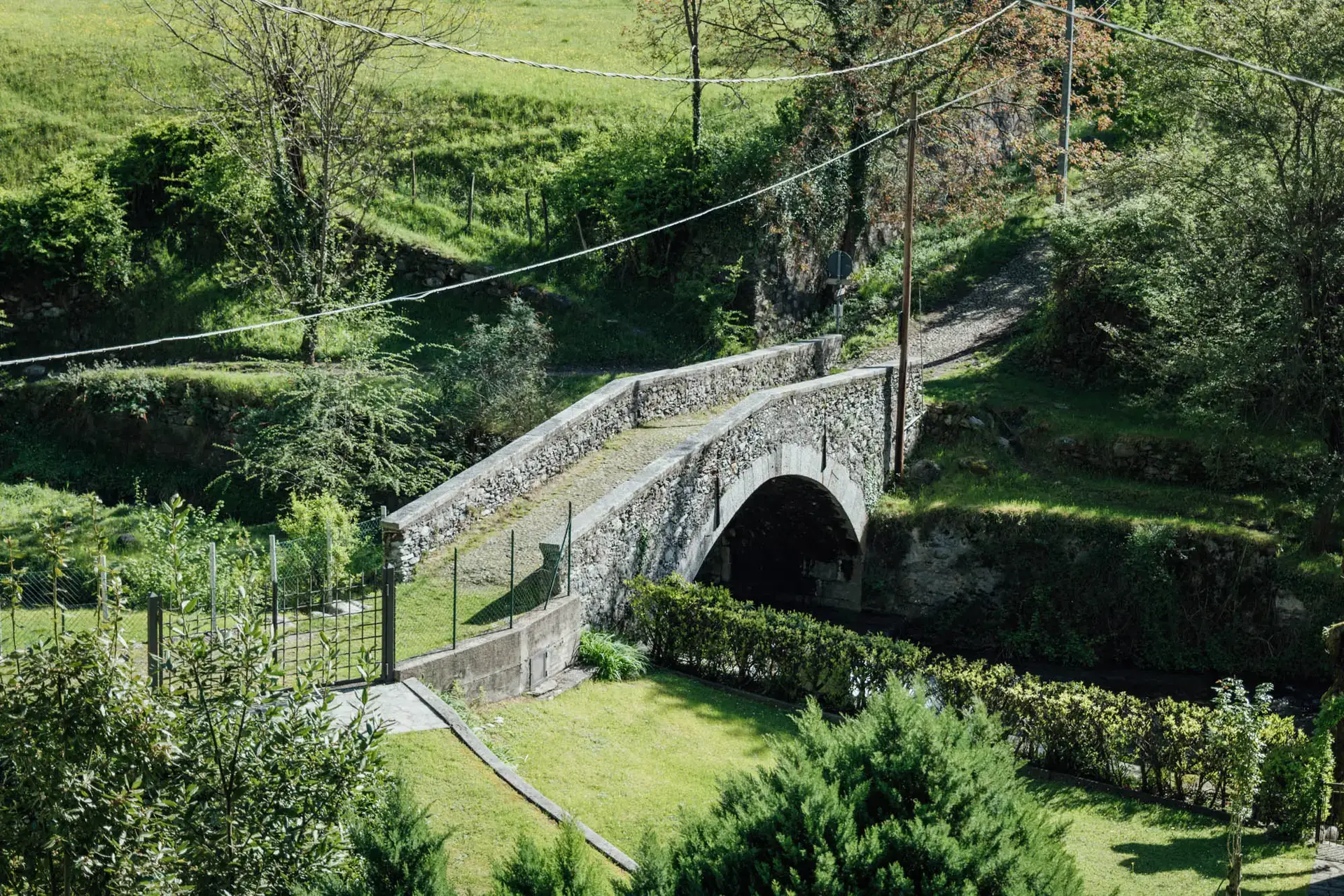
This beautiful hike takes place in the middle-upper part of Val Sanagra Park and crosses some of the most characteristic mountain pastures in the area. It starts by car along the provincial road that connects Carlazzo to Cusino, in Val Cavargna. From Cusino you take the paved road to the Mountains of Malè (there is a toll charge) and after about 10 minutes you reach the locality Salter, easily recognized by the small pond and the numerous parking spaces available.
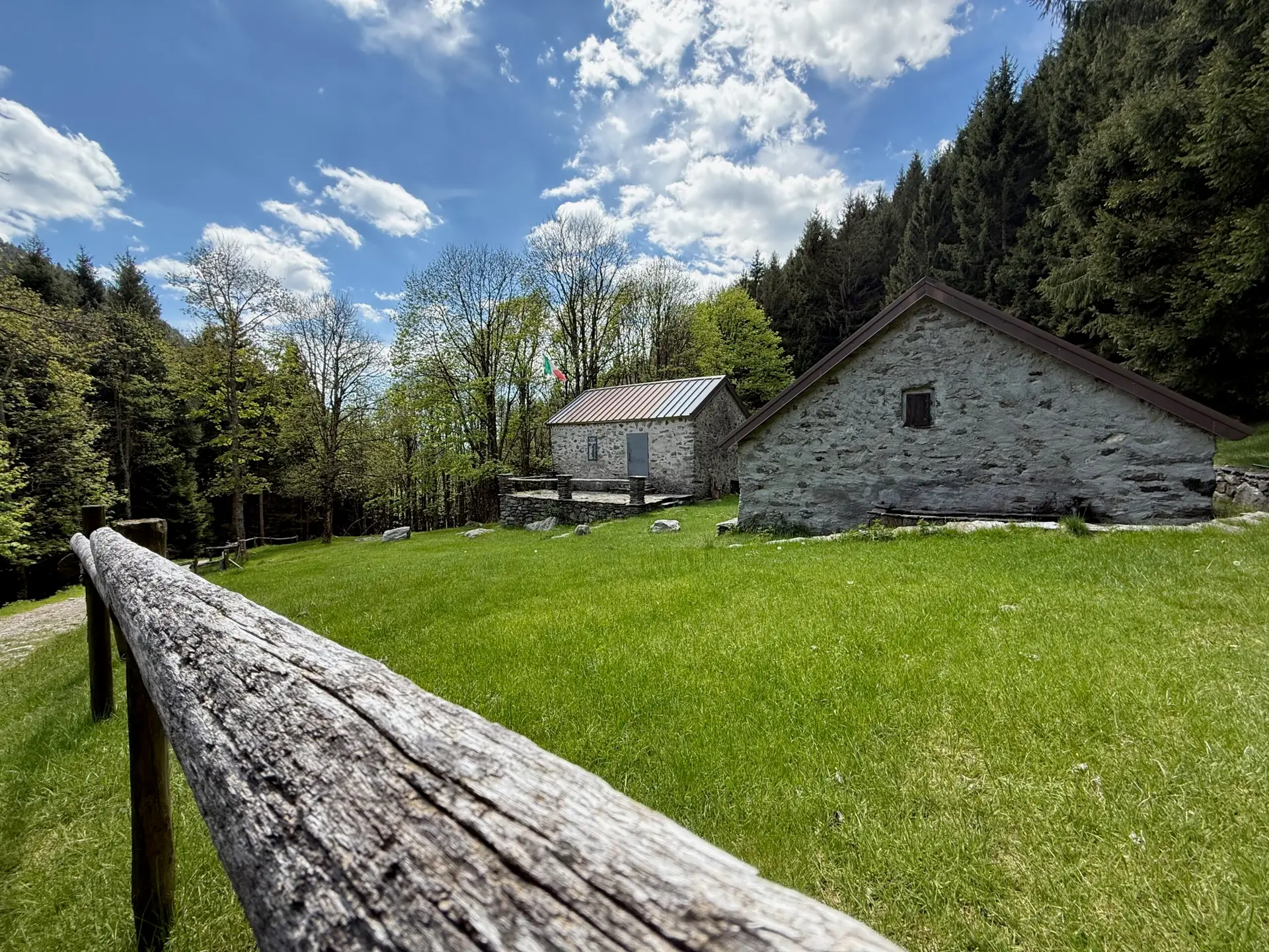
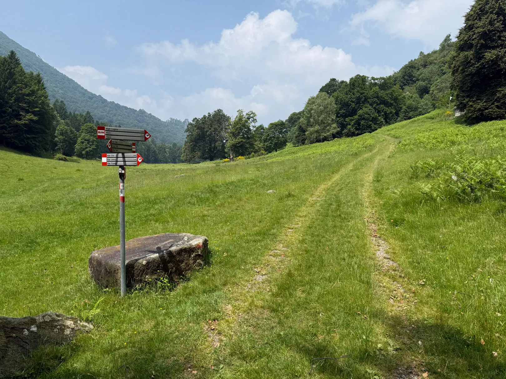
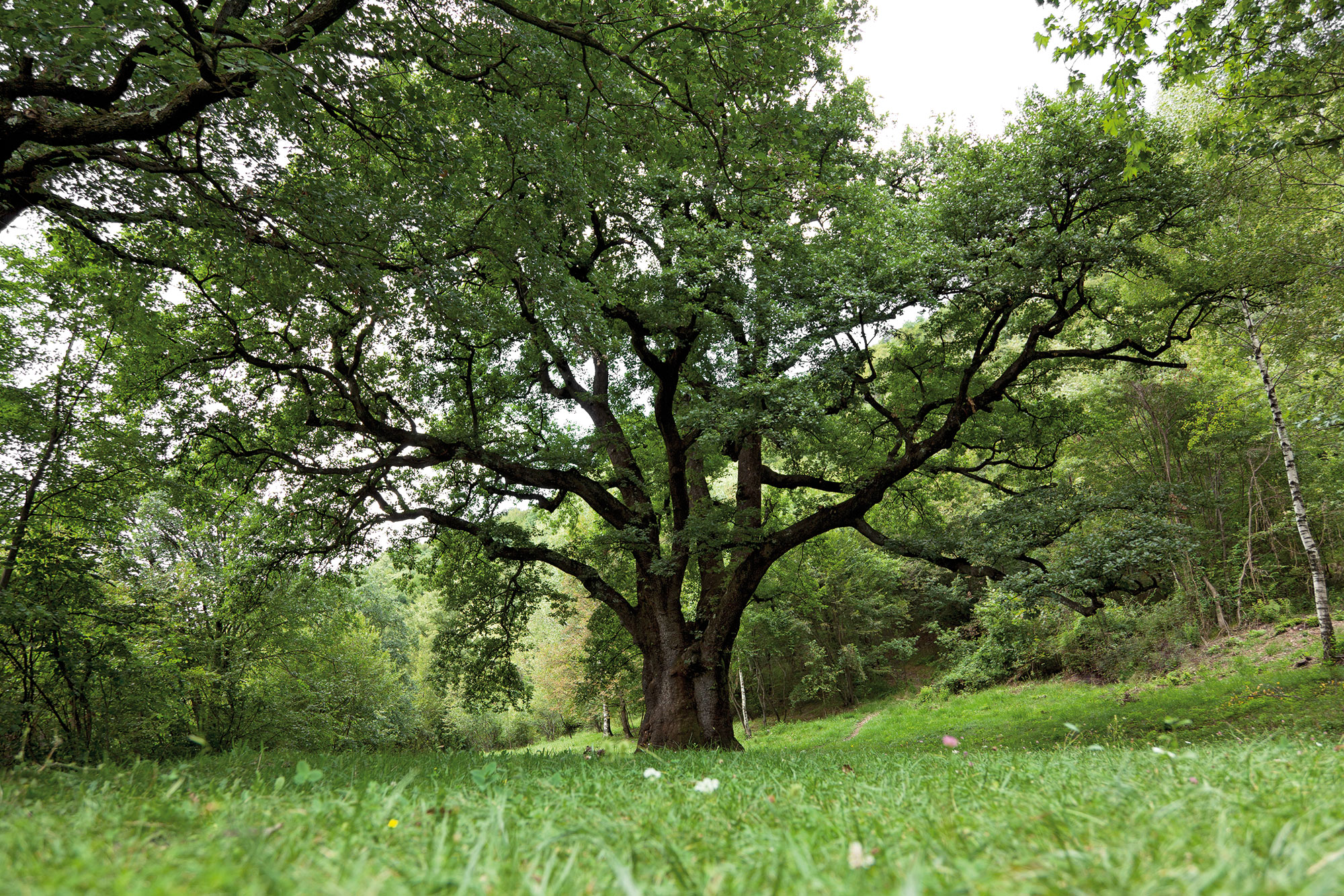
From the Salter, leaving the pond behind, take a path that in a few minutes leads into the Sanagra Valley Park and leads to theLogone Alp, an alpine pasture still active today, where butter and cheeses are produced. The landscape is framed by the mountains Pidaggia and Grona, by century-old beech trees and the curious "mushroom stone," a large dolomite boulder balanced on a thinner base that seems to defy gravity.
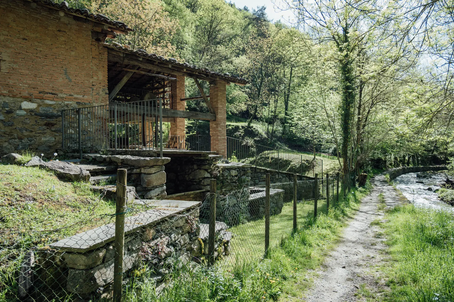
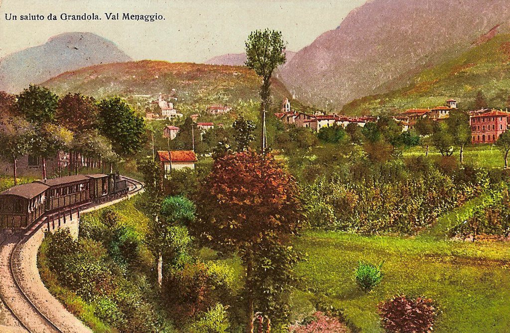
Near a wooden gate is a building that tells a piece of local history: in the early twentieth century it was the canteen for workers who worked in the nearby coal mine Gariasca Valley. This small valley, a tributary of the Sanagra River, preserves a geological heritage dating back 310 million years, with important plant fossils visible today at the Val Sanagra Ethnographic Natural History Museum at the Grandola ed Uniti town hall.
Arriving in sight of the wooden gate, take a marked detour to the left, which leads into the beech forest along the pasture boundary. The trail continues halfway up the west side of the valley, with slight ascents and descents, until in about 30 minutes it reaches theAlpe Erba. From here there is a splendid view of the middle part of the valley, dominated by Mt. Grona.
A curiosity: along this stretch we cross a small chestnut forest, a kind of "green island" within the beech forest.
At theAlpe Erba a strong geological contrast can be observed: the light, angular rocks of the Dolomite contrast with the softer reliefs of the Mycascists. This geological boundary is a sign of a major fault that crosses the valley and reaches as far as Canton Ticino, linked to the formation of the Alps. A little further north, in the Upper Lario, the Insubric Line also passes, a fault that chronicles the collision of the African and European plates.
Continuing along the path, it takes about an hour to reach the Grass Armchairs, a small alpine pasture used in the summer for mountaineering. In this elevation range, the forests change face: the beech forest gives way to conifers, particularly spruces and firs planted in the past, but also to rare native specimens such as mountain pine and white spruce, which are naturally associated here with beech.
It continues to the top of the Mount Pizzone, from which we begin to glimpse the head of the valley. The forests thin out, giving way to pastures and bushes of green alder and rhododendron. Those who like to observe wildlife may be in luck: partridge, black grouse, golden eagle (which nests on Grona) live in these parts, and more recently some wolves have also been reported.
The waters of the Sanagra stream originate from these very mountains. The poorly permeable rock substrate means that there is no shortage of springs, streams and waterholes along the way.
From the summit of Mt. Pizzone, marked by a wooden cross, you can enjoy a Spectacular 360-degree views of two still wild valleys: the Sanagra Valley and the Cavargna Valley.
The descent takes place in the direction of the Armchairs by Leveja and, following the marked path below the alpine pasture, it takes about 30 minutes to reach theAlpe Leveja. Once a mountain pasture, it is now a destination for hikers thanks in part to the presence of an alpine hut, renovated in the 1980s by volunteers from Grandola ed Uniti. Every July it hosts the traditional Alpini festival.
This is where the "wildest" part of the trail begins. Alpe Leveja is a strategic point to reach other mountain pastures: theNesdale Alp, Ballarona, Pisanera.
You return along an agro-sylvo-pastoral road that, in about half an hour, takes you back to Alpe Erba. Continuing along the track you reach the locality Spin, where the dirt road becomes paved. A little further on, a second dirt road marked on the right (with a bar) allows you to close the loop, taking you back to the point of the wooden gate encountered on the way out. From there we return to the Alpe di Logone and finally to the Monti di Malè, completing a splendid loop trail in the upper part of Val Sanagra.